Go back
Search Land - Ironside Recreation East
Ironside Recreation East
$625,000
TBD John Day Highway, Ironside, OR
Status: Active
Property Type
Acreage
Hunting Land
Ranch
Recreational Land
Acreage
342 acres
County
Malheur, OR
Format
Sale
Features
Creek
Hwy-County Rd Frontage
Rural Water
Spring
Water Rights
List Date
Feb 20, 2024
Documents
N/A
Description
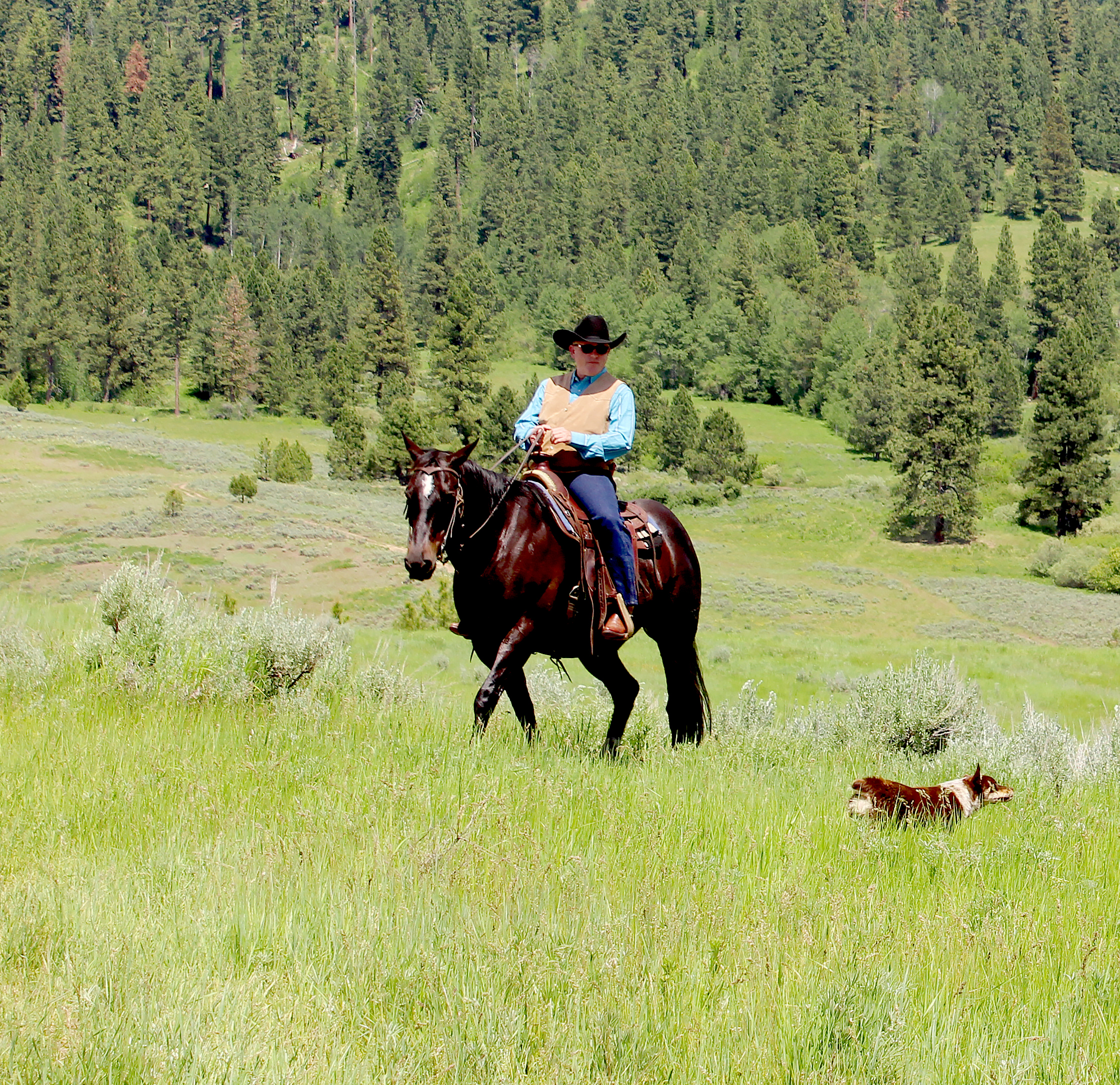
This 342± acres parcel lies within Lost Valley Creek’s watershed. Several springs, some developed into stock water tanks, can be located throughout this acreage. the landscape features sagebrush that blends with native grasses providing a great landscape for elk, deer and cattle. Lost Valley Creek also meanders through the property in addition to springs, providing that essential water component. The south boundary borders the highway offering direct access to that land and power and fiber optic cable. BLM lands are nearby expanding your outdoor playground. Ironside Mountain, Cow Valley Butte and Juniper Mountain are all in close proximity.
Listing Agent
John Knipe
Co-Op Member Owner
Knipe Land Company
Boise, Idaho
By submitting, you agree to our privacy policy andterms.
Co-op approved lenders in Malheur County, OR:
Want to learn more about our financing options?
Enter your email below to receive free resources and information.
By submitting, you agree to our privacy policy andterms.