In the ever-evolving world of real estate, maximizing the value of a property goes far beyond aesthetics or location. Advanced technology, particularly Geographic Information Systems (GIS) and property mapping, has become an essential tool for landowners, real estate brokers, and buyers alike. By providing a detailed visual and analytical understanding of a property, GIS empowers stakeholders to make informed decisions, enhancing property management, valuation, and marketing efforts. Here’s how mapping and GIS are transforming property analysis and management for landowners and buyers.
1. Comprehensive Property Visualization
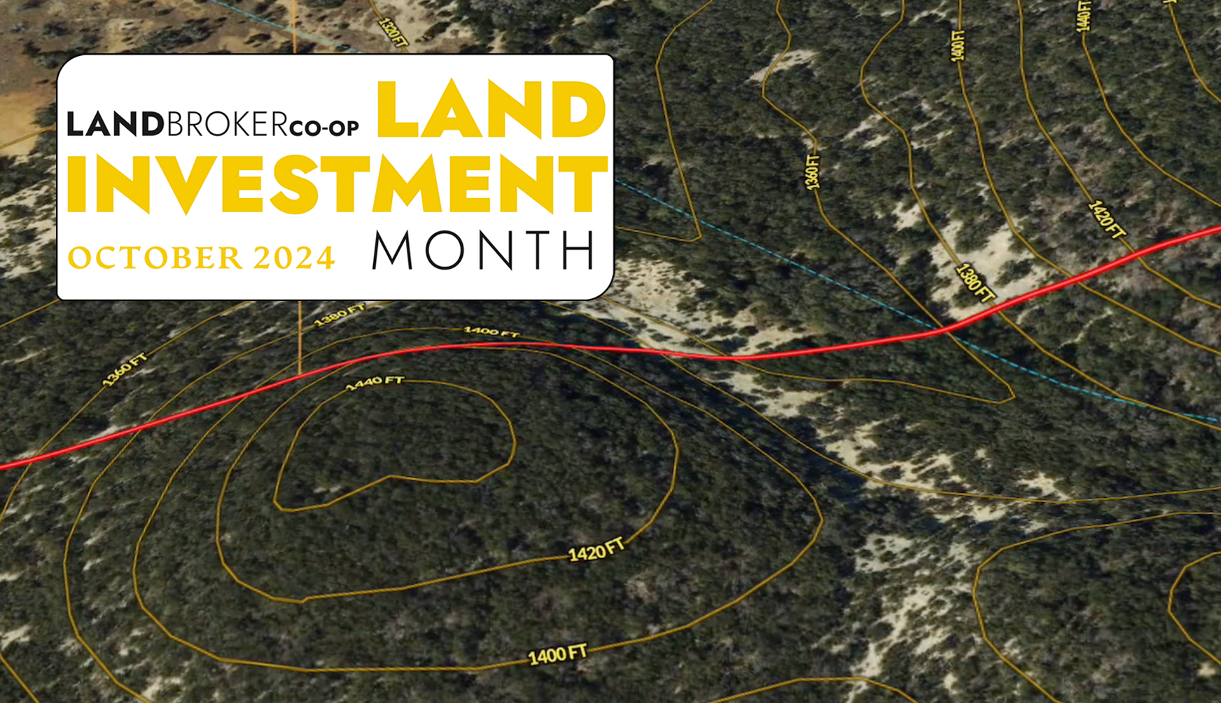
Mapping technology allows landowners to see their property in ways that were previously only accessible to developers or large-scale investors. Aerial imagery and detailed topographical maps provide a comprehensive visual of a property’s terrain, boundaries, and improvements such as roads, buildings, and infrastructure. This enhanced view helps landowners better understand the layout and features of their land, ensuring they can highlight its strengths and address any weaknesses when marketing or improving the property.
For buyers, these maps offer an in-depth look at the property before ever setting foot on it. They can quickly assess features such as elevation changes, water sources, and nearby developments. This can be particularly useful for agricultural buyers, developers, or conservationists, who need to understand the land’s natural characteristics and potential uses.
2. Improved Accuracy in Property Valuation
One of the key benefits of GIS in real estate is its ability to assist in accurate property valuation. By using GIS to analyze comparable sales in the area, real estate professionals can identify trends and establish a competitive price for a property. Mapping can show landowners how their property compares to others in terms of acreage, location, and improvements, offering a clear picture of its market value.
For buyers, this transparency is invaluable. They can see how a property stacks up against similar listings, providing confidence that they are making a sound investment. The ability to visualize market data spatially also helps buyers and brokers identify potential opportunities that may not be immediately obvious through traditional data analysis.
3. Enhanced Land Management and Planning
For landowners looking to maximize the long-term potential of their property, GIS is a powerful tool for management and planning. From understanding soil composition to tracking water resources, GIS provides data that can inform decisions on land use, development, and conservation.
Landowners can use GIS to monitor environmental factors, assess risks such as erosion or flooding, and plan for sustainable land management. This is particularly important for large properties or those in rural areas, where natural features play a significant role in how the land can be used or developed.
Additionally, GIS enables better planning for property improvements. Landowners can use mapping to identify the best locations for building structures, roads, or other infrastructure based on elevation, accessibility, and proximity to key features. This level of precision can save both time and money while ensuring the land is utilized to its fullest potential.
4. Informed Decision-Making for Development and Zoning
Whether a property is being sold for development or repurposed by its current owner, understanding zoning laws and development potential is critical. GIS mapping provides an easy way to overlay zoning regulations on a property’s map, allowing landowners and developers to see what is possible based on local laws.
For buyers, especially those looking to develop or subdivide land, GIS can quickly clarify whether their vision aligns with existing regulations. This avoids costly surprises down the line and can help streamline the permitting and development process.
Additionally, GIS can assist in future-proofing investments. By analyzing trends in nearby developments, landowners and buyers can anticipate shifts in land use, property values, and infrastructure expansion. This foresight helps ensure they are making decisions that will benefit them in the long run.
5. Streamlined Marketing and Sales
For real estate brokers, GIS-based property mapping enhances marketing efforts by allowing them to present properties in a visually engaging and informative way. Aerial maps, property boundaries, and key features can all be highlighted, making it easier for potential buyers to understand the full scope of the property from the outset.
Landowners can use these detailed maps to showcase their property’s unique attributes—such as proximity to roads, natural features, or nearby developments—which might not be immediately visible from the ground. This makes it easier to appeal to targeted buyers, whether they’re investors, developers, or individual buyers seeking specific types of properties.

Conclusion
The integration of GIS and mapping technology into real estate has revolutionized how properties are analyzed, managed, and marketed. For landowners, these tools offer a detailed understanding of their property’s potential, from valuation to long-term planning. Buyers benefit from a clearer picture of the land they are considering, helping them make more informed decisions. As technology continues to advance, GIS will remain an indispensable asset in maximizing property potential and ensuring successful real estate transactions.
Ready to unlock the full potential of your property? Start your free 7-day trial with Land id™ today and explore how advanced mapping and GIS technology can enhance your property’s value, streamline marketing, and guide smarter decisions. Create your trial account now at id.land and experience the benefits firsthand!
This article is contributed by our partner – Land id, as part of National Land Investment Month 2024.

